- Blockchain Council
- August 09, 2023
In a pioneering endeavor that fuses the realms of cutting-edge artificial intelligence, space exploration, and collaborative open-source innovation, IBM and Hugging Face have unleashed an extraordinary breakthrough – the revolutionary HLS Geospatial Foundation Model. This groundbreaking model, meticulously developed using NASA’s treasure trove of satellite data, promises to reshape the landscape of climate science, Earth observation, and environmental understanding.
Imagine harnessing the power of AI to unravel the intricate mysteries of our planet, enabling us to track the ebb and flow of natural processes and human activities with unprecedented accuracy. Enter the HLS Geospatial Foundation Model, a formidable creation that emerges from the fruitful partnership between NASA and IBM Research. Representing a quantum leap in the application of AI for Earth science, this model is poised to redefine how we perceive and interact with our world.
Also Read: Tech Mahindra Empowers 8,000 Employees with AI Skills
At its core, the HLS Geospatial FM leverages the Harmonized Landsat Sentinel-2 (HLS) dataset, a treasure trove of Earth observation data meticulously curated by NASA. This open-source geospatial AI model is not just a technological marvel; it’s a transformative force with multifaceted applications. From monitoring land use transformations to predicting crop yields and even detecting natural disasters, the HLS Geospatial FM emerges as a versatile tool that promises to revolutionize the way we approach climate-related challenges.
Behind this monumental achievement lies a dynamic, collaborative effort involving key players who are no strangers to pushing the boundaries of human knowledge. NASA’s Interagency Implementation and Advanced Concepts Team (IMPACT), stationed at the Marshall Space Flight Center in Huntsville, Alabama, stands at the forefront of this endeavor. IMPACT’s mission to harness innovation, forge partnerships, and harness AI technology in Earth observation data has been instrumental in realizing the HLS Geospatial FM.
Dr. Rahul Ramachandran, the IMPACT manager and a senior research scientist at Marshall, succinctly captures the essence of this collaboration: “AI foundation models for Earth observations present enormous potential to address intricate scientific problems and expedite the broader deployment of AI across diverse applications.” With this rallying call to the scientific community, Dr. Ramachandran invites experts to engage with the model, evaluate its merits, and contribute to its refinement.
Also Read: What are the Benefits of Artificial Intelligence in Our Daily Lives?
At the heart of this revolutionary model lies the concept of foundation models (FMs) – a class of AI models that draw insights from vast pools of unlabeled data, adapting their knowledge to diverse tasks. The fusion of NASA’s extensive Earth observation data and IBM’s AI prowess has birthed a tool that empowers researchers to unravel the intricate tapestry of our planet’s interconnected processes.
Kevin Murphy, NASA’s Chief Science Data Officer, emphasizes the transformative potential of FMs: “We believe that foundation models have the potential to change the way observational data are analyzed and help us to better understand our planet.” By open-sourcing these models, NASA and IBM are sowing the seeds of accelerated scientific progress, democratizing access to cutting-edge tools that hold the key to unraveling Earth’s mysteries.
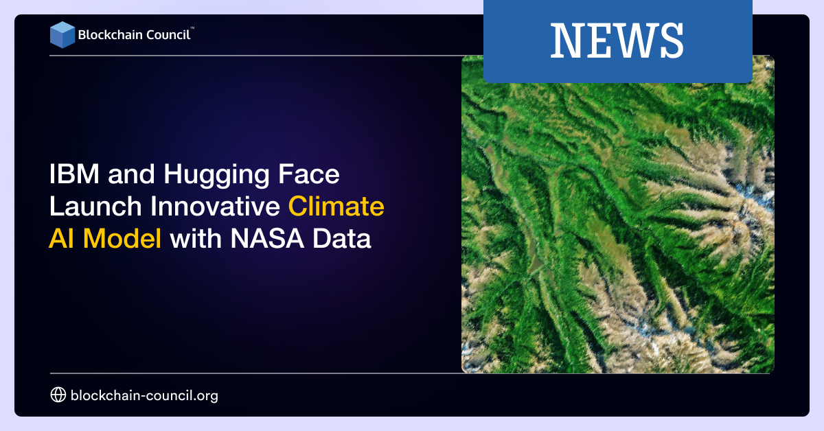
To appreciate the significance of the HLS Geospatial FM, one must delve into the foundational dataset that powers its intelligence – the Harmonized Landsat Sentinel-2 (HLS) data collection. This monumental dataset, born from a harmonious union of NASA’s Landsat 8 and 9 satellites and the European Union’s Sentinel-2A and Sentinel-2B satellites, offers an unprecedented view of Earth’s surface.
The HLS project provides a consistent stream of surface reflectance data, painting a vivid portrait of our planet’s ever-changing visage. Captured every 2 to 3 days with a spatial resolution of 30 meters, the HLS imagery stands as a testament to the power of modern technology to capture the subtle nuances of our dynamic world.
Also Read: Artificial Intelligence in Robotics: All You Need To Know
The path to realizing the HLS Geospatial FM has been one of relentless innovation and collaboration. As the field of AI constantly evolves, so too does the infrastructure required to nurture its growth. The neural network architectures underpinning foundation models are intricate, demanding substantial computing power to train effectively.
In a remarkable testament to human ingenuity, IBM Research harnessed the might of the IBM Cloud Vela supercomputer to train the HLS Geospatial FM. This cloud-based training platform, known as the IBM Watsonx FM stack, emerged as the crucible where the model’s intelligence was forged. Situated within NASA’s Science Managed Cloud Environment (SMCE), this collaborative initiative showcases the power of technology to transcend boundaries and expedite progress.
The HLS Geospatial FM emerges not just as an enigma shrouded in computational complexity but as a versatile tool that is ready to tackle an array of real-world challenges. NASA, IBM Research, and Clark University have embarked on an ambitious journey to assess the model’s prowess across a spectrum of applications.
From flood mapping that achieves state-of-the-art performance with smaller samples to burn scar identification critical for post-fire recovery, the HLS Geospatial FM has already showcased its mettle. Moreover, the model’s potential extends to time-series segmentation, similarity search, and beyond. As the scientific community delves into the model’s capabilities, the boundaries of what is possible are poised to expand.
Also Read: What is Artificial Intelligence? A Step-by-Step Beginners Guide
The partnership between IBM, Hugging Face, and NASA exemplifies the spirit of open-source collaboration that has become synonymous with the AI revolution. By making the HLS Geospatial FM available through Hugging Face, a renowned advocate of open-source AI models, the collaborators aim to catalyze a wave of cooperation and knowledge exchange within the AI ecosystem.
Jeff Boudier, head of product and growth at Hugging Face, eloquently encapsulates the essence of this endeavor: “AI remains a science-driven field, and science can only progress through information sharing and collaboration.” This commitment to open science forms the bedrock upon which the future of AI rests – a future where transformative solutions emerge from the collective efforts of the global scientific community.
As the model’s capabilities continue to unfurl, the potential applications of the HLS Geospatial FM are as vast as the landscapes it seeks to understand. Deforestation tracking, crop yield prediction, greenhouse gas detection, and more await the transformative touch of this AI marvel. The fusion of AI’s analytical prowess with NASA’s vast repository of satellite data heralds a new era of precision, insight, and discovery.
The journey by IBM and Hugging Face doesn’t end here. IBM’s vision extends beyond the HLS Geospatial FM as the collaborative forces of IBM and NASA continue to explore novel applications, including a groundbreaking large language model rooted in Earth science literature. These endeavors echo NASA’s resolute commitment to open science, ensuring that the fruits of this partnership are accessible and enriching for the entire scientific community.


 Guides
 News
News Blockchain
 Cryptocurrency
& Digital Assets
 Web3
Web3 Metaverse & NFTs
